Are you living in a transport black spot?
In London, some lucky addresses are positively well-connected. Maybe you live next to a Tube station (even a Night Tube station!) that can whisk you across the city every few minutes. Perhaps a nice, busy bus interchange adds a few radial routes that can spirit you off to adjacent neighbourhoods. Hell, you might even be near a tram! (SOUTH LONDON HOLLLAAAAAAA)
Or perhaps the answer is ‘none of the above’, with the nearest bus stop being a ten-minute walk away, served only by a local single-decker that crawls a pointlessly-circuitous route three times an hour.
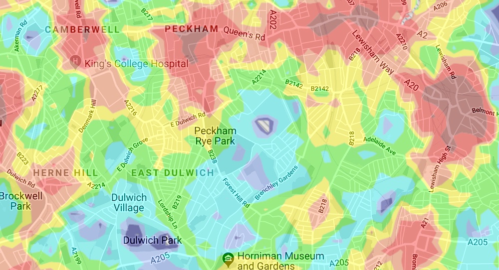
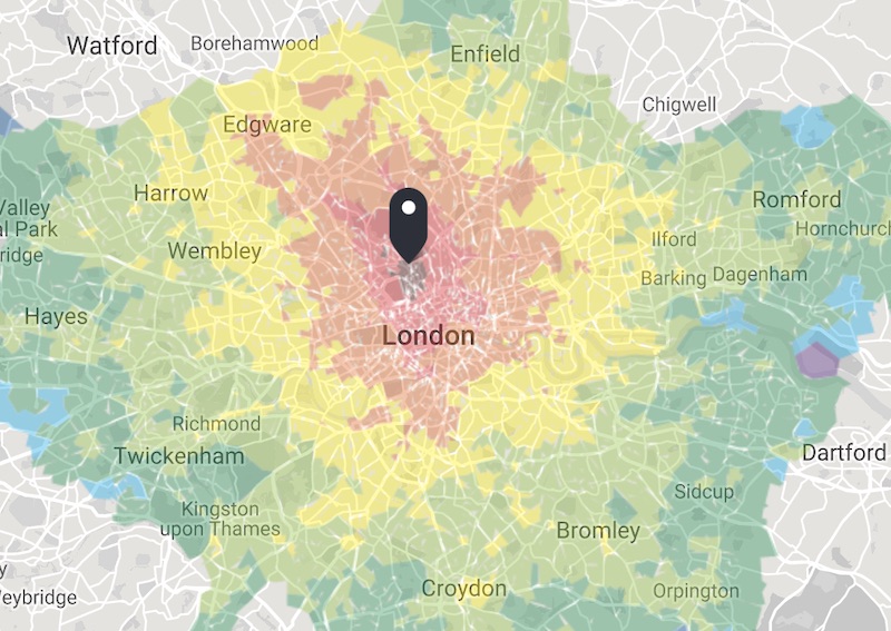
These are the kind of things TfL’s magic WEBCAT map reveals.
Breaking up London into dinky squares 100 metres across, each area is coded from 6b (the best) to the dreaded 0, painfully far from all transit. While central London obviously has a surfeit of transport connections, there are intriguing dead spots across the city, including the northern reaches of Kings Cross, Wapping, the edges of Hackney Marshes, Nunhead, White City and more. It’s useful to check if you’re thinking about moving house, for sure.
You can also use the map’s handy travel-time function to create a custom map, showing how long it takes to get places from a given location. Enter the postcode of your potential new gaff, for example, and you’ll get a glanceable guide that reveals if there are any unexpected places might take ages to get to… like your workplace. (Alternatively, you can use it to scout for affordable neighbourhoods that still get you into the office on time.)


