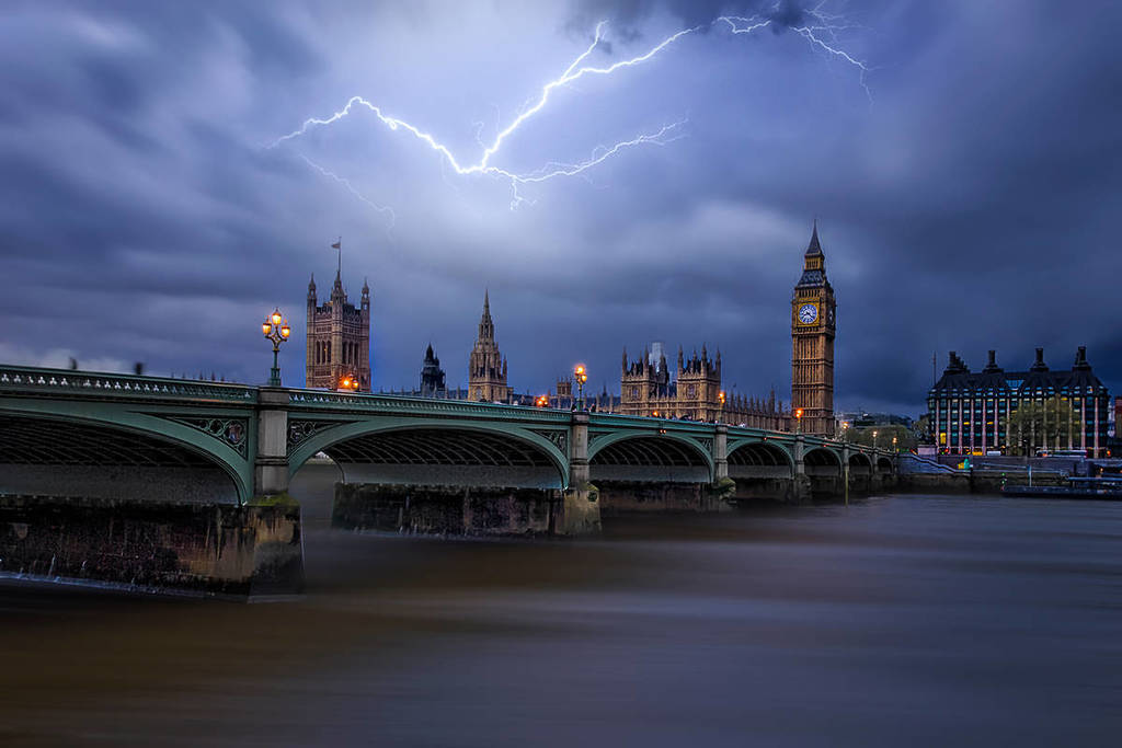

The UK is set to experience further bouts of intense, tropical-style thunderstorms later this week, following a dramatic surge in lightning activity across the country.
More than 29,000 lightning strikes were recorded by the Met Office in just 24 hours, marking a significant and disruptive start to an emerging heatwave.
Why is the UK experiencing tropical-style thunderstorms?
Meteorologists warn that the combination of rising temperatures and increasing humidity is creating highly volatile atmospheric conditions. Warm, moisture-laden air moving in from continental Europe is fuelling instability, allowing towering cumulonimbus clouds to develop.
These storm systems are capable of producing torrential rain, frequent lightning, and sudden localised flooding.
The recent storms were triggered as the ground heated rapidly during the day, causing warm air to rise through the atmosphere.
Met Office recorded over 29,000 lightning strikes during a single 24-hour period
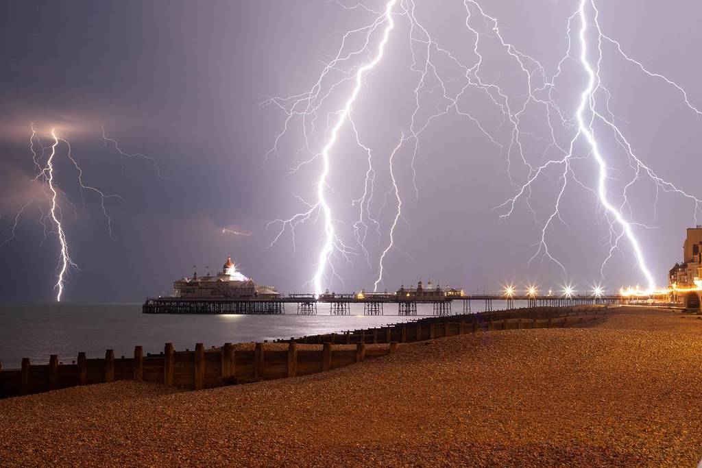
When this air is humid, it becomes buoyant and unstable, leading to the formation of powerful thunderclouds. Within these clouds, collisions between ice particles generate electrical charges, which are released as lightning.
While summer thunderstorms are not unusual in the UK, the sheer volume of lightning strikes recorded is notable. It signals increasingly unstable conditions as a heat dome builds over western Europe, potentially pushing temperatures close to 40°C in the coming days.
This pattern resembles weather typically seen in tropical regions such as Florida or Singapore, where prolonged and intense thunderstorms are more common.
The West Country was particularly hard hit, with Somerset alone experiencing over 18,000 lightning strikes. Parts of the South East, including London and Kent, also saw significant storm activity, leading to travel disruption and flash flooding in some areas.
Will there be more thunderstorms in the UK this week?
Looking ahead, forecasters say the risk of further severe thunderstorms remains high. The most likely period for storm development is during the hottest parts of the day, when surface heating is strongest. However, warm overnight temperatures—remaining above 18–20°C in some places—mean storms could also occur after dark.
Thursday is currently highlighted as a key day for renewed thunderstorm activity, though pinpointing exact locations remains challenging due to the unpredictable nature of such systems. With the atmosphere remaining “charged” by heat and humidity, conditions are primed for additional outbreaks at short notice.
Residents are advised to stay updated with weather warnings, as further heavy downpours, lightning, and disruption are likely in the days ahead.